Chao Phraya River Panorama
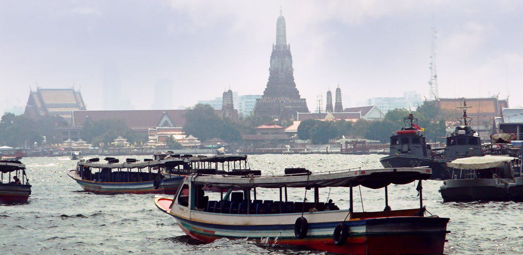
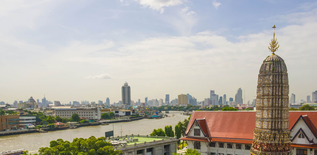
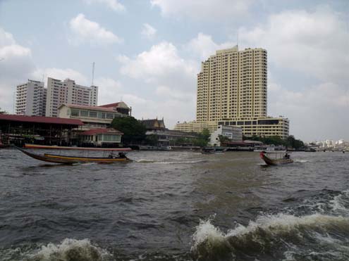
This panoramic view of the Chao Phraya River captures the majestic sweep of Bangkok's central waterway, revealing the diverse architecture and bustling activity that characterizes Thailand's capital. The river serves as a living museum, where traditional long-tail boats navigate alongside modern express ferries beneath bridges that span centuries of architectural evolution.
The Chao Phraya's broad waters reflect the changing skyline of Bangkok, from ancient temples and traditional shophouses to contemporary skyscrapers. This dynamic riverscape illustrates how the waterway continues to adapt and serve the city's transportation needs while preserving its role as a cultural corridor connecting Bangkok's historic heart with its modern districts.
|
|
|
|
• Historical Value: Document of Bangkok river heritage
• Cultural Context: Shows traditional life along the Chao Phraya
• Navigation: Use arrows to browse more historical images
• Related: Learn more about Chao Phraya history