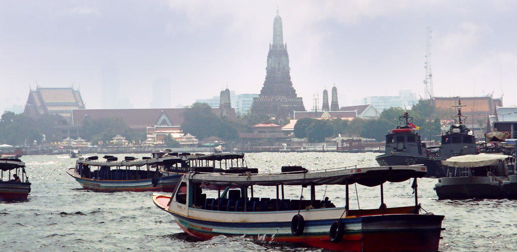
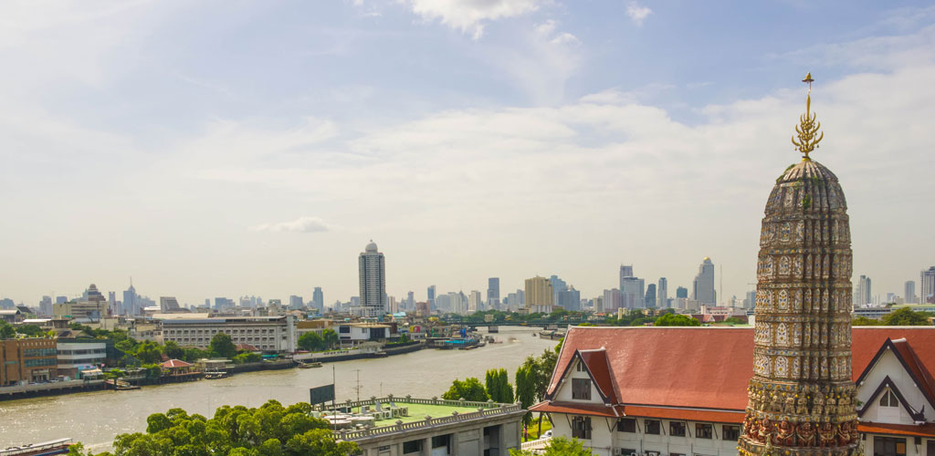
Chao Phraya River Ferry
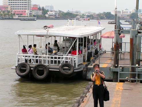
This vintage photograph showcases a traditional ferry crossing on the Chao Phraya River in Bangkok during the early to mid-20th century. The image captures the essential role that small ferries played in connecting communities across the river before the construction of modern bridge infrastructure.
Traditional river ferries like this served as lifelines for local communities, enabling daily commerce, social connections, and transportation between the river's banks. These smaller vessels complemented the larger express boats, creating a comprehensive water transport network that remains fundamental to Bangkok's character today.
|
|
|
|
📸 Gallery Information:
• Historical Value: Document of Bangkok river heritage
• Cultural Context: Shows traditional life along the Chao Phraya
• Navigation: Use arrows to browse more historical images
• Related: Learn more about Chao Phraya history
• Historical Value: Document of Bangkok river heritage
• Cultural Context: Shows traditional life along the Chao Phraya
• Navigation: Use arrows to browse more historical images
• Related: Learn more about Chao Phraya history