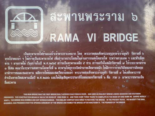
Rama VI Bridge Historical Signage
This historical photograph captures the original signage of the Rama VI Bridge (also known as the Phut Bridge), one of Bangkok's significant river crossings over the Chao Phraya River. Built during the reign of King Vajiravudh (Rama VI) in the early 20th century, this bridge represents an important period of modernization in Bangkok's infrastructure development.
The bridge connects the historic districts of Bangkok and served as a crucial link for commerce and transportation. This vintage signage represents the architectural and design aesthetics of early 20th century Siam, when Western influences began integrating with traditional Thai design elements in public infrastructure projects.
|
|
|
|
📸 Gallery Information:
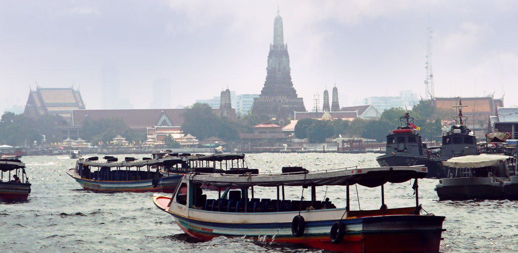
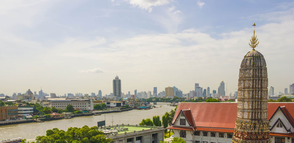
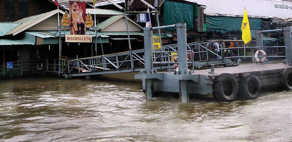
• Historical Value: Document of Bangkok river heritage
• Cultural Context: Shows traditional life along the Chao Phraya
• Navigation: Use arrows to browse more historical images
• Related: Learn more about Chao Phraya history
• Historical Value: Document of Bangkok river heritage
• Cultural Context: Shows traditional life along the Chao Phraya
• Navigation: Use arrows to browse more historical images
• Related: Learn more about Chao Phraya history