Bangkok River Bus Transport System
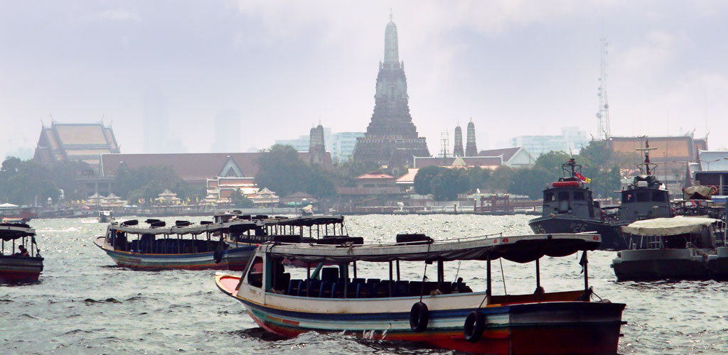
This photograph illustrates Bangkok's efficient river bus system operating on the Chao Phraya River, demonstrating how traditional water transport has evolved into a modern public transportation network. The Chao Phraya Express boats serve as vital arteries connecting diverse neighborhoods and major attractions throughout the capital.
Bangkok's river bus system represents a successful integration of historical transportation methods with contemporary urban planning. These boats navigate the same waters that have served as Bangkok's highways for generations, offering both residents and visitors an authentic and practical way to experience the city while avoiding traffic congestion on land-based roads.
|
|
|
|
📸 Gallery Information:
• Historical Value: Document of Bangkok river heritage
• Cultural Context: Shows traditional life along the Chao Phraya
• Navigation: Use arrows to browse more historical images
• Related: Learn more about Chao Phraya history
• Historical Value: Document of Bangkok river heritage
• Cultural Context: Shows traditional life along the Chao Phraya
• Navigation: Use arrows to browse more historical images
• Related: Learn more about Chao Phraya history